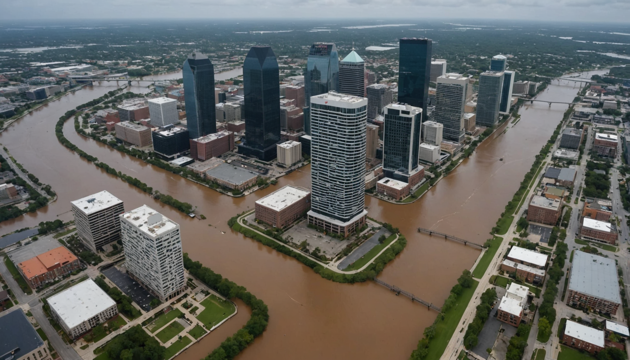
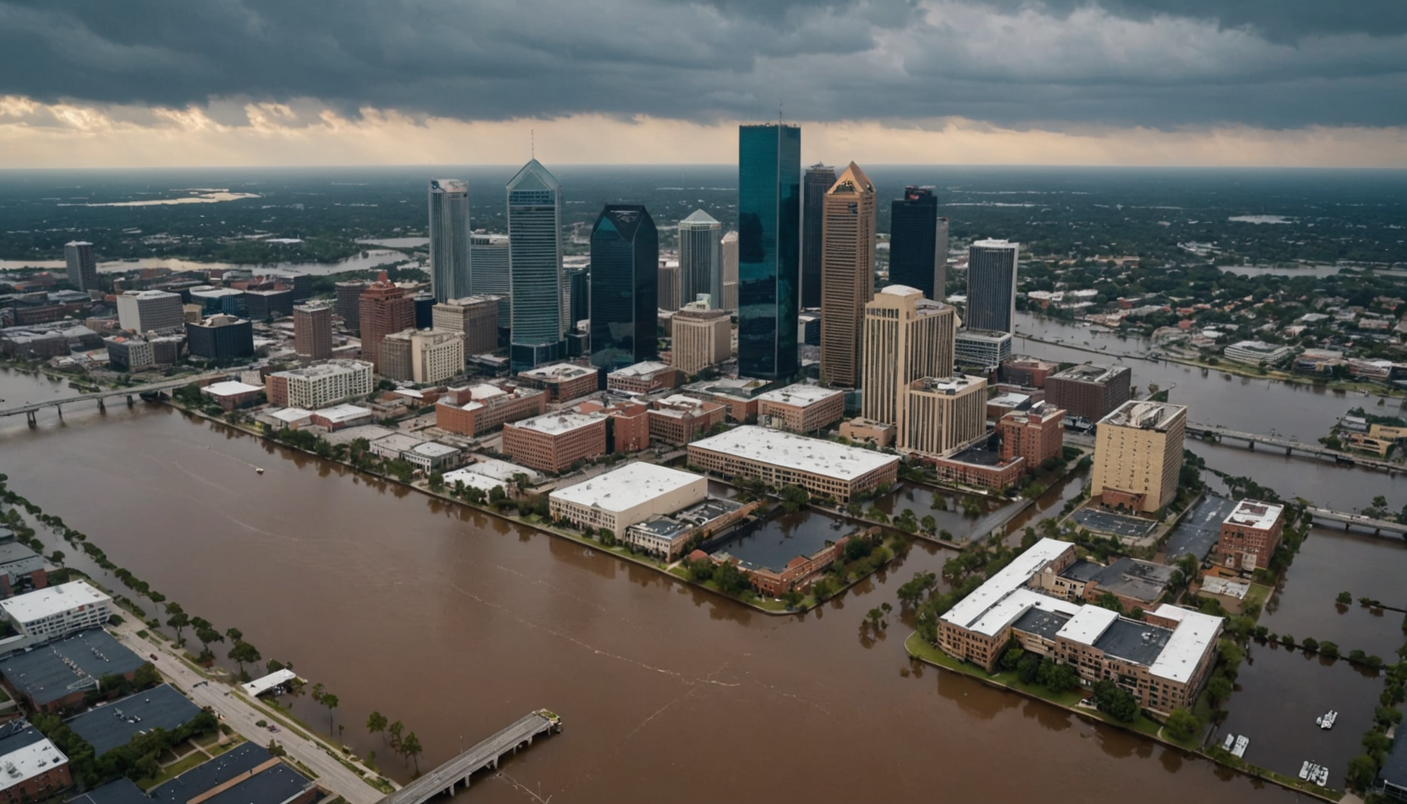
Jacksonville’s unique geographical position, where the St. Johns River meets the Atlantic Ocean, creates distinct flood vulnerabilities that affect over 900,000 residents. According to the Federal Emergency Management Agency (FEMA), approximately 32% of Jacksonville’s properties lie within designated flood zones, making it one of Florida’s most flood-prone major cities.
The city faces three primary flooding threats: storm surge from hurricanes and tropical storms, river flooding from the St. Johns River system, and urban flooding during heavy rainfall events. The National Weather Service data shows that Jacksonville has experienced significant flooding events in six of the past ten years, with Hurricane Irma in 2017 causing water levels to rise more than 5 feet above normal in some areas.
Low-lying neighborhoods, particularly those near the river and its tributaries, face the highest risk. Areas such as San Marco, Riverside, and Downtown Jacksonville historically experience flooding during severe weather events. The city’s Environmental Quality Division reports that sea-level rise has increased the baseline flood risk by approximately 8 inches over the past century.
- Storm surge flooding: Can reach 6-12 feet during major hurricanes
- River flooding: Typically occurs after prolonged rainfall periods
- Urban flooding: Results from overwhelming stormwater systems
Recent studies by the Northeast Florida Regional Council indicate that the combination of rising sea levels and increasing development has amplified flood risks. Properties previously considered safe now require flood insurance, and areas that once experienced minor flooding now face more severe threats. The Jacksonville City Planning Department estimates that without additional mitigation measures, flood-prone areas could expand by 20% by 2050.
Local building codes have evolved to address these challenges, requiring new constructions in flood zones to be elevated at least two feet above the base flood elevation. Homeowners in vulnerable areas are increasingly implementing flood-prevention measures, from installing flood vents to creating proper drainage systems and maintaining strategic landscaping to direct water away from structures.
Monitoring the St. Johns river levels
The St. Johns River’s water levels in Jacksonville are monitored through a sophisticated network of gauges maintained by the National Oceanic and Atmospheric Administration (NOAA) and the United States Geological Survey (USGS). These monitoring stations provide real-time data essential for flooding predictions and storm prep activities, with key measurement points located at Main Street Bridge, Dames Point, and Mayport.
Water level readings are updated every six minutes, offering crucial information about both typical fluctuations and potential flood conditions. During normal conditions, the river typically varies between 0.5 and 2 feet above mean sea level. However, during severe weather events, Jacksonville residents should be particularly vigilant when levels exceed 3 feet, as this often indicates increased flood risk for low-lying areas.
The Jacksonville Weather Service Office uses these measurements alongside meteorological data to issue flood warnings and advisories. Historical data shows that when river levels reach 4 feet above normal, significant flooding begins to affect riverside communities, particularly in areas like San Marco and Riverside. Local emergency management officials recommend that residents begin implementing flood prevention measures, including sandbags placement, when water levels are predicted to exceed these thresholds.
The city has implemented an early warning system that alerts residents through multiple channels when dangerous river levels are anticipated. This system proved particularly valuable during recent major storms, where advance notifications helped communities prepare for and minimize flood damage.
- River gauge readings above 5 feet indicate severe flooding potential
- Storm surge can increase water levels by an additional 2-3 feet during hurricanes
- Peak flood levels typically occur 2-3 hours after high tide
- Real-time river level data is accessible through NOAA’s mobile app
Tidal patterns and coastal impacts
Coastal areas in Jacksonville experience significant tidal fluctuations that can dramatically impact flood risks. The daily high and low tides typically vary by 4-6 feet, but during new and full moons, these spring tides can increase water levels by an additional 1-2 feet. Many residents make the critical mistake of ignoring tide schedules when planning flood prevention measures, leading to unexpected water intrusion during storm events.
A common oversight is failing to account for the combined effect of heavy rainfall and high tide. When strong storms coincide with peak tidal periods, flooding can be substantially worse than anticipated. Residents often wait too long to deploy sandbags or activate flood barriers, reducing their effectiveness. Storm prep should begin at least 24 hours before predicted severe weather, especially when high tides are expected.
Another frequent error is neglecting to maintain seawalls and bulkheads. These structures require regular inspection and repair to effectively protect against tidal flooding. Property owners sometimes overlook signs of deterioration until a major storm exposes vulnerabilities. Professional assessments should be conducted annually, particularly before hurricane season.
Many homeowners mistakenly rely solely on elevation certificates without understanding how tidal patterns affect their property. While a structure may be above base flood elevation, tidal surge combined with storm conditions can exceed these levels. Installing tide-specific flood prevention measures, such as backflow preventers on drainage systems, is often overlooked but crucial for coastal properties.
People frequently underestimate the impact of wind direction on tidal flooding. Northeast winds can push additional water into the St. Johns River, causing higher-than-normal tides even during fair weather. Residents should monitor both tide predictions and wind forecasts when assessing flood risks. The Jacksonville Weather Service provides specialized forecasts that account for these wind-tide interactions.
- High tide flooding can occur even on sunny days during king tides
- Storm surge effects can last for several tidal cycles
- Coastal erosion increases vulnerability to tidal flooding
- Proper drainage system maintenance is essential for tidal flood prevention
Emergency preparedness guidelines
Creating a comprehensive emergency kit is essential for Jacksonville residents, with specific items needed for different flooding scenarios. Store important documents in waterproof containers and maintain at least a seven-day supply of non-perishable food, water, and medications. Each household member should have one gallon of water per day, and don’t forget pet supplies if applicable.
Keep emergency supplies in easily accessible locations and check them every six months for expiration dates. Essential items include:
- Battery-powered or hand-crank radio and NOAA weather radio
- Flashlights and extra batteries
- First aid kit and prescription medications
- Multi-tool and basic repair supplies
- Portable phone chargers and backup batteries
For storm prep, maintain a supply of sandbags or commercial flood barriers. The city of Jacksonville provides sandbag distribution locations before major storms, but having your own supply ensures immediate access when needed. Learn proper placement techniques beforehand – incorrect sandbag positioning can actually worsen flooding damage.
Establish a clear family communication plan and evacuation strategy. Designate an out-of-area contact who can relay messages between separated family members. Create laminated cards with emergency contact numbers and meeting locations for each family member. Practice your evacuation route during calm weather and identify multiple alternate paths in case primary routes are flooded.
Know your property’s flood risk level and insurance coverage. Many residents discover too late that standard homeowner’s insurance doesn’t cover flood damage. FEMA recommends purchasing flood insurance even in moderate-risk areas, as policies typically require a 30-day waiting period before taking effect.
- Sign up for AlertJax emergency notifications
- Keep vehicle fuel tanks at least half full
- Maintain an emergency cash reserve
- Document valuable possessions with photos or video
- Learn how to safely shut off utilities
By taking these proactive steps, you’ll be better equipped to handle flood emergencies. Remember, preparation isn’t just about surviving an event – it’s about protecting your family and property while maintaining peace of mind during challenging times.
Resources and evacuation routes
- Where can I find official evacuation route maps for Jacksonville?
- The City of Jacksonville’s Emergency Preparedness Division provides detailed evacuation maps on their official website (coj.net/emergency). These maps are also available at local community centers and fire stations, showing primary and alternate routes based on your evacuation zone.
- How early should I evacuate when a major storm is approaching Jacksonville?
- Evacuation should begin at least 36 hours before predicted storm impact, especially if you live in a flood-prone area or evacuation zone A or B. This timing allows for traffic congestion and ensures you reach safe shelter before conditions deteriorate.
- What essential resources are available during flooding emergencies?
- Jacksonville offers multiple emergency shelters, including pet-friendly locations, which are activated during severe weather events. The city also maintains a 24/7 emergency hotline (904-630-CITY) and provides real-time updates through the JaxReady mobile app.
- Where can I get sandbags during a flood threat?
- During storm events, Jacksonville operates multiple sandbag distribution sites, typically at fire stations and community centers. The locations are announced through local media and the JaxReady app, but supplies are limited and distributed on a first-come, first-served basis.
- Which bridges and roads typically close first during flooding?
- Low-lying roads near the St. Johns River, particularly in San Marco and Riverside, are usually the first to close. Main Street Bridge and Hart Bridge may close when wind speeds exceed 40 mph sustained, and flood waters affect approaches.


